Licensed Surveying Built for Real-World Workflows
We operate like a traditional land surveying firm: precise field methods, clear scope, and defensible deliverables. Our modern layer is AI-assisted review that keeps schedules clean and risk visible.
Professional Oversight
All regulated surveying is performed under Washington State licensed Professional Land Surveyor authority. Field work may be completed by affiliated crews to meet capacity and scheduling needs.
What You Receive
- Stamped survey plats and maps
- Clear scope and boundary interpretation
- Professional coordination through close-out
Boundary & Title Services
Precise boundary definition, title research support, and legal defensibility for property owners, lenders, and attorneys.
- Boundary surveys, retracements, and corner recovery
- ALTA/NSPS land title surveys and lender support
- Easements, encroachments, and record reconciliation
- Lot line adjustments and subdivision support
Residential & Commercial
Lot surveys, boundary verification, and transfer-ready mapping.
ALTA/NSPS
Compliant documentation for title and lender requirements.
Risk Review
Record conflicts flagged early to avoid change orders.
Legal Support
Technical interpretation for attorneys and property disputes.
Development & Construction Support
Field-verified staking, topo, and as-built work that keeps projects aligned with design intent and schedules.
- Topographic surveys for planning and engineering
- Construction staking and layout control
- As-built documentation and closeout support
- Vertical control and geodetic coordination
Pre-Construction
Boundary confirmation and topo surfaces for design teams.
Active Job Sites
Layout, staking, and control monitoring for builders.
Closeout
As-builts and record updates for compliance and handoff.
Project Intelligence
AI-assisted checks to reduce rework and schedule drift.
Why Clients Choose E-Surveyors
Classic surveying service, elevated by modern verification and communication.
Licensed Oversight
Professional accountability on every regulated deliverable.
Fast Scoping
AI-assisted pre-survey review speeds up decisions.
Transparent Workflow
Clear milestones from intake to final map.
Statewide Coverage
Affiliated crews allow coverage without sacrificing quality.
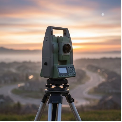
Field Work Highlights
Boundary recovery, control, staking, and topo conditions across Washington.