Modern Due Diligence for Land Decisions
NLDIA (National Land Data Intelligence Analysis) blends professional surveying insight with AI-assisted record review. It clarifies risk, scope, and feasibility before field crews mobilize.
What the Report Includes
- Deed, plat, and survey record review
- AI-assisted boundary conflict detection
- Confidence scoring for feasibility
- Clear executive summary
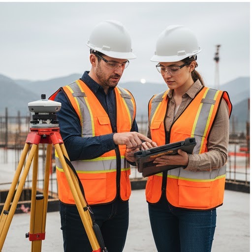
Who Uses NLDIA
- Developers & builders
- Attorneys and title teams
- Investors & property owners
NLDIA is advisory and complements licensed field surveying.
Why Run NLDIA Before Field Work
Traditional surveying still requires expert field work. NLDIA reduces the unknowns so you know what you are stepping into.
- Catch boundary conflicts before crews mobilize.
- Confirm record consistency across deeds and plats.
- Prioritize high-risk parcels for deeper review.
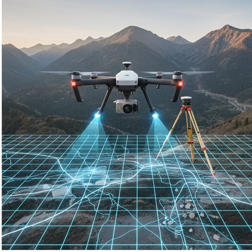
Record Intelligence
AI-assisted analysis of deeds, plats, and historic records.
Risk Flags
Surface potential conflicts, gaps, and anomalies early.
Feasibility
Assess scope, access complexity, and likely constraints.
Decision Support
Clear executive summaries for internal or client review.
How NLDIA Works
We layer AI analysis onto professional judgment to produce defensible insight.
- Intake: parcel data, deeds, plats, and client inputs.
- Analysis: AI-assisted checks for conflicts and anomalies.
- Delivery: summary report with risk indicators and next steps.
Add NLDIA to Your Project
Request the report alongside your survey quote or as a stand-alone review.
Built to Support Licensed Surveying
NLDIA does not replace licensed field work. It strengthens it by reducing uncertainty and aligning scope before crews mobilize.
Faster Scoping
Determine the right approach and crew needs sooner.
Cleaner Change Orders
Surface conflicts early and reduce mid-project surprises.
Client Confidence
Deliver clear, professional reporting before field work.
Legal Clarity
Supports attorneys and title teams with defensible insights.
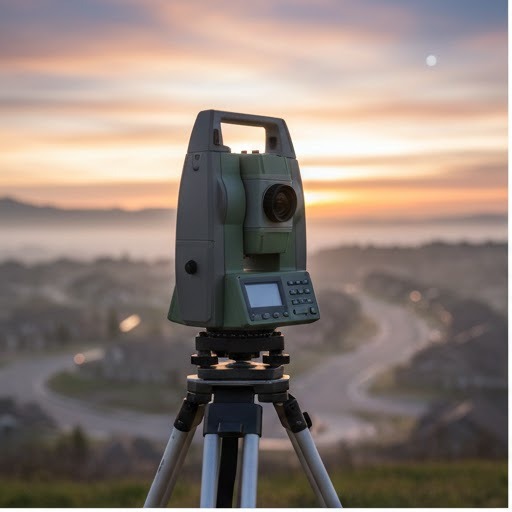
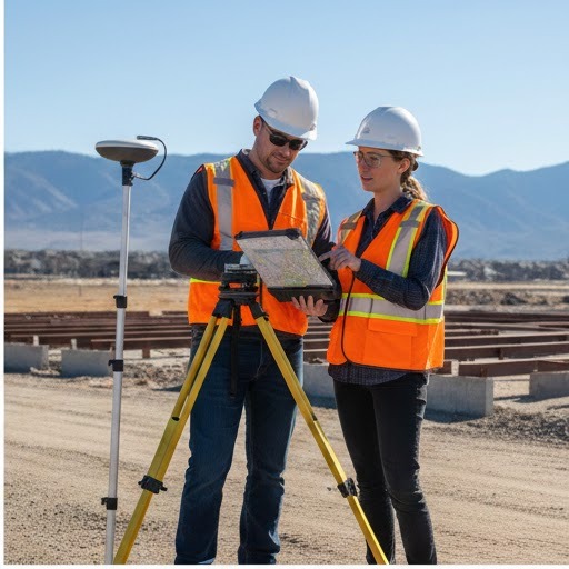
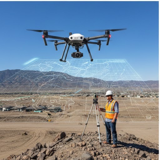
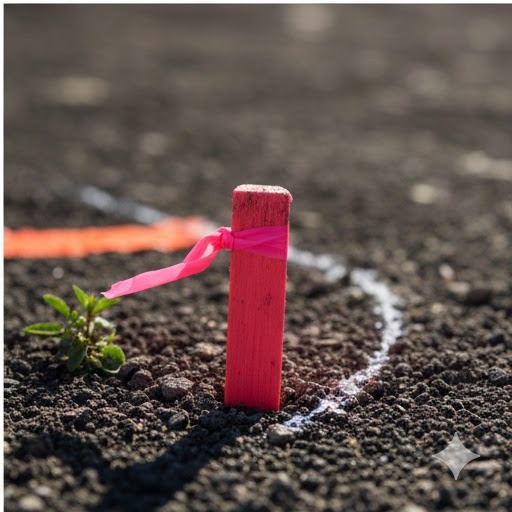
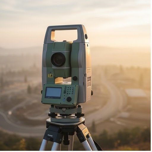
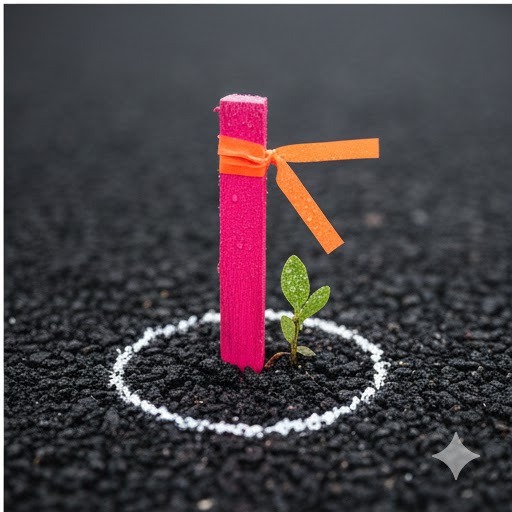
Survey Intelligence Gallery
Grayscale to color highlights from recent boundary, topo, and staking work.