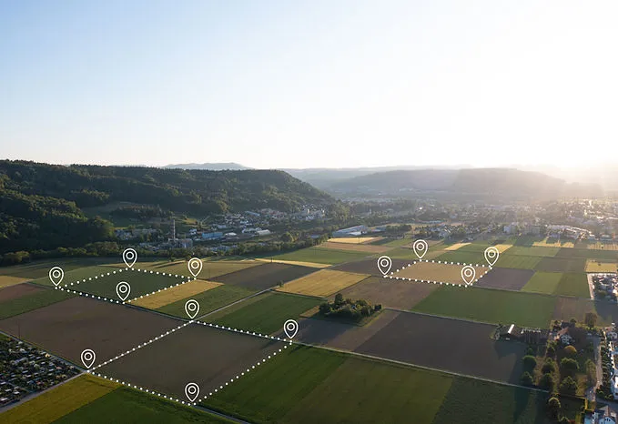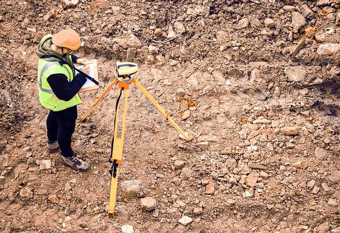


Land Surveying
Precise field data that creates decision confidence before design, permitting, and construction begin.
- ALTA, topographic, and boundary surveys
- Drone aerial scanning and LiDAR-ready workflows
- Flood elevation certification and site mapping
- Boundary line adjustments and acquisition support