Field certainty for property, permitting, and development decisions.
Conexus delivers survey intelligence that helps property owners and project teams reduce risk early. Our surveying work supports acquisitions, design coordination, permitting strategy, and downstream construction planning.
Due diligence, entitlement support, property clarification, and design-ready data capture.
Survey services built around project movement.
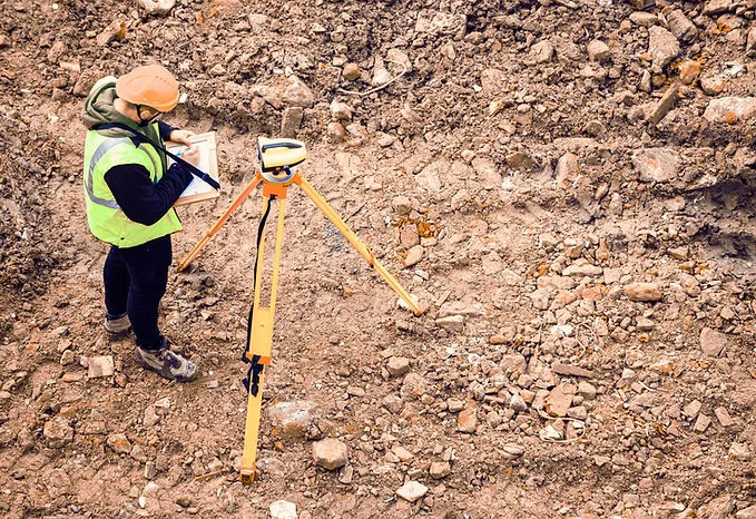
- Boundary, topographic, and ALTA surveys
- Drone aerial scanning and site mapping
- Flood elevation certification
- Boundary line adjustments and land acquisition support
- Field verification for planning, design, and development coordination
Good field data keeps bad assumptions from getting expensive.
Surveying is often the earliest moment where a project either gains clarity or starts carrying hidden risk. Conexus helps clients understand site boundaries, existing conditions, and development constraints before design and permitting effort compounds around incomplete information.
This page is already structured to become a dedicated surveying destination later.
The copy, metadata, and internal linking here separate surveying from planning and site development now, which makes a future move to a surveying-specific subdomain much cleaner.
Plan the surveying content buildout